
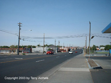
This section contains photos of interesting locations around Hermiston, Oregon.
Hermiston, Oregon is located about 188 miles east of Porland, Oregon. It is about 45 miles south of Richland, Washington. The Umatilla River flows on the west side of Hermiston and the Columbia River is about 6 miles north of Hermiston.
The Hermiston area includes surrounding towns of Echo, Stanfield and Umatilla.
Hermiston weather is somewhat moderate. Many years I have worn shorts and tshirts from March to late October. The really cold weather usually settles in around Thanksgiving and runs to about Valentine's day. March and April daytime temperatures run from 55 to 75. May and June daytime temperatures run from 65 to 85. July and August daytime temperatures run from 80 to 100. September and October daytime temperatures run from 55 to 80. November to February daytime temperatures range from 32 to 50 with some days 20 to 30 degrees.

|
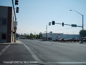
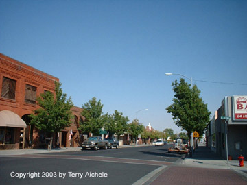
Highway 395 runs through the center of Hermiston north to south. |

|
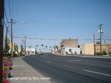
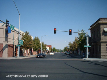
Main Street of Hermiston, Oregon. Some buildings date back to around 1910 with newer buildings having been constructed in the 1980's. |

|
The current Hermiston City Hall. The building originally housed the First Federal Savings and Loan.
|
|
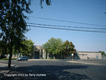
One of the older existing schools in Hermiston. Armand Larive Junior High and/or Middle School is named for a former superintendent of the Hermiston School District. |

|

|

|

|